Walkers who love sea spray as much as summits, Sunday explorers and peak chasers alike: the Basque Country offers a playground of almost outrageous variety. Between white villages crowned with blood-red tiles, coves edged by the Atlantic, and green ridges where Pottok ponies graze, every trail tells a story of culture, nature, and adventure. As visitor numbers have surged since 2024 with the rise of micro-tourism, knowing the smartest routes for avoiding the crowds while enjoying the views has become essential. This feature brings together up-to-date advice, unexpected anecdotes—such as the naval origins of the Mâture Trail—and precise data on elevation gain and duration. From Bidart to Saint-Jean-Pied-de-Port, via the wild gorges of Soule, it offers a complete guide to must-do walks in the Basque Country so you can embrace the extraordinary richness of Basque landscapes without losing sight of what matters most: savoring every step.
Coastal Path: the call of the ocean and sculpted cliffs
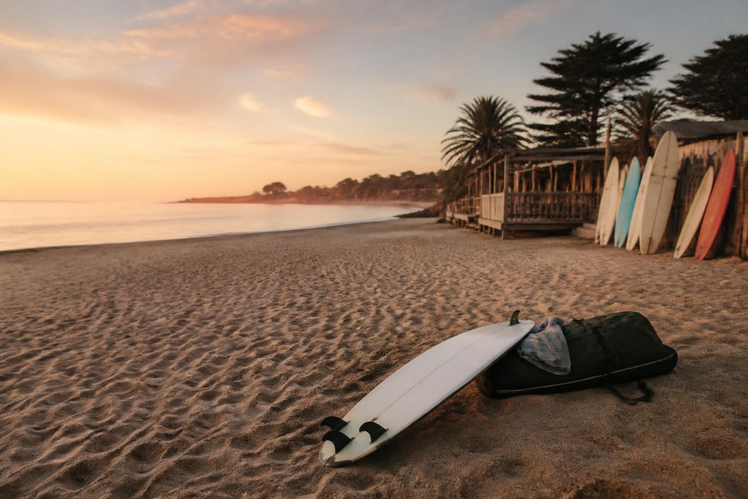
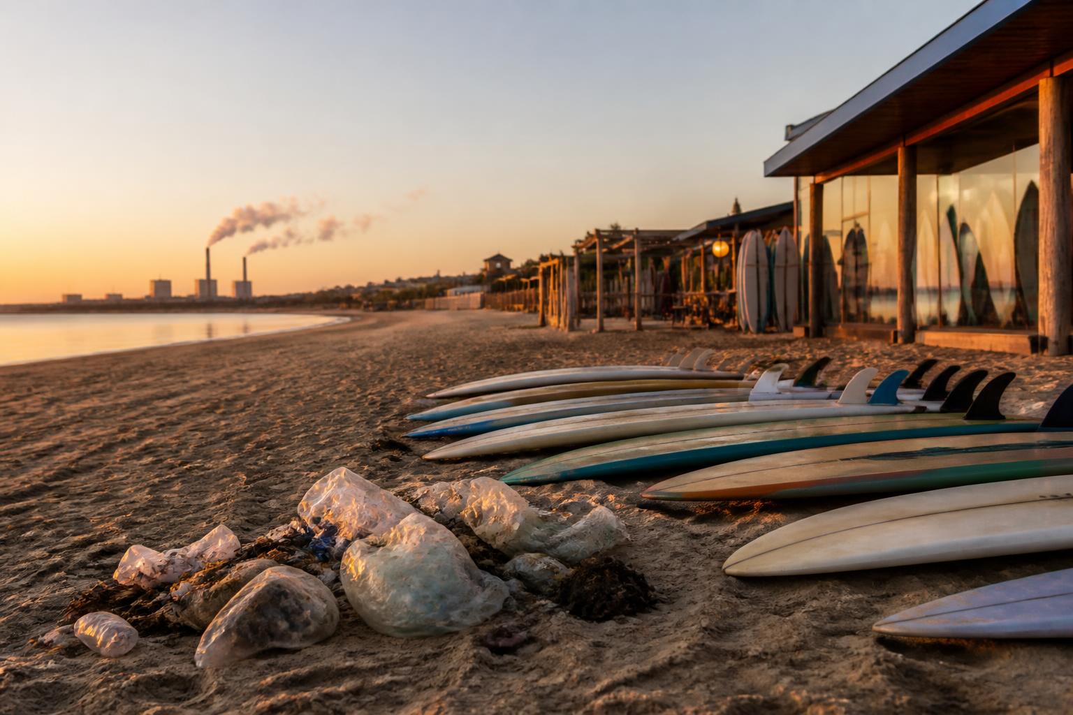
Over 25 kilometers between Bidart and Hendaye, the Basque Corniche encapsulates the DNA of the coast: ochre cliffs plunging into a turquoise ocean, Belle Époque villas perched on promontories, and maritime traditions that are still very much alive. This flagship GR8 section is best tackled in spring or during the shoulder season, when the heather is fragrant and the swell is more manageable. Its moderate elevation gain—around 400 m in total—makes it accessible to a wide range of walkers, but five pitfalls await newcomers: heat radiating from the cliffs in summer, biting westerly winds, a lack of water on certain sections, the temptation to cut through the gorse, and rising tides on passages at the foot of the cliffs. By anticipating these challenges, the hike becomes a timeless moment.
The route naturally breaks down into three distinct atmospheres. First comes Bidart-Guéthary, the realm of surfers and bunkers converted into viewpoints overlooking the legendary breaks of Parlementia. Next is Guéthary-Saint-Jean-de-Luz: here, the culture maritime heritage is on display through shipowners’ houses and the historic harbor, where the sails of tuna boats are still hoisted. Finally, the Saint-Jean-de-Luz-Hendaye section reveals the spectacular cove of Smugglers’ Cave, followed by the famous Loya Bay, with La Rhune mountain standing guard in the background.
In 2026, three improvements enhanced the experience: the installation of solar-powered filtered fountains in Lafitenia, the “Euskal360” mobile app, which provides real-time swell height for coastal sections, and additional Hegobus shuttles that make it possible to split up the walk. Families often choose the Guéthary-Saint-Jean-de-Luz loop (8 km), returning by TER regional train; more athletic hikers prefer to tackle the full route in 6 hours, wearing trail-running shoes.
Why is this route a symbolic walk? Because it brings surf and mountains into conversation: on one side, the waves of Belharra, watched by big-wave riders during stormy winters; on the other, the Pyrenees stretching across the horizon, a reminder that the Spanish border is only a few strides away. Photographers will appreciate the low-angle light on Pointe Sainte-Barbe at sunset, while food lovers will stop at the Halles market in Saint-Jean-de-Luz to enjoy a merlu koskera before setting off again.
To capture the spirit of the trail, here is a concrete example: every Saturday, Maialen, a nature guide, takes a small group to observe the colonies of European shags nesting on the cliffs of Socoa. Participants then understand how the oceanic microclimate shapes the Corniche’s unique biodiversity. These outings, combining education and nature in the wild, illustrate the 2026 Basque “slow tourism” trend.
Hidden gems and tips to elevate the experience
1. Opt for a low-tide departure from Bidart to access Parlementia’s secret beaches.
2. Bring a pair of binoculars: in April, bottlenose dolphins travel up the coast, offering an unforgettable aquatic ballet.
3. Break the hike into 3 km mini-stages using Hegobus bus stops so everyone can create their own adventure.
4. Download the “coastal vegetation” layer on the IGN app to identify dune everlastings and sea thrift.
5. Reserve a table in Guéthary and time your walk with golden hour for an aperitif overlooking the waves.
Ridges and peaks: the exhilaration of the Basque Pyrenees
Leaving the Atlantic and heading east means trading the salty air for the scent of ferns and beech forests. From the foothills onward, the terrain steepens: 1,000 m of elevation gain becomes commonplace. Among the 93 marked routes listed in 2026, six hikes stand out as must-dos. Pic du Mondarrain (749 m) serves as an appetizer: three hours of gradual ascent, a 360° orientation table, and often the unlikely sight of griffon vultures hovering overhead. Next comes La Rhune, a media star that remains popular. For a dose of solitude, choose the ascent via the Lizuniaga Pass on the Spanish side: 600 m of elevation gain, hardly anyone around, and the exhilarating feeling of floating between two countries.
Seasoned hikers aim higher: the Table des Trois Rois (2,428 m) symbolizes the historic alliance between Navarre, Aragon, and Béarn. Every July 14, a cross-border gathering keeps the centuries-old pact alive: songs in Euskara, shared Ossau-Iraty cheese, and a reading from Pío Baroja. This suspended moment proves that culture and mountains are one and the same. Farther south, Pic d’Anie (2,507 m) presents a lunar karst landscape. Novices are easily caught out by the unpredictable trail markings; a reliable GPS becomes essential, especially if the typical mist of the upper Soule rolls in.
Let’s take a closer look at Arratzolatze-Pic d’Orhy: a legendary summit rising to 2,007 m, marking the natural gateway between the Basque Pyrenees and Navarre. Its ascent via the north ridge, popularized on social media in 2025, requires 1,000 m of elevation gain but offers a breathtaking view of the Sierra de Abodi. When winter arrives, ski tourers replace hikers; specific fluorescent blue trail markers were also installed in fall 2026 to make the descent safer.
The Artzamendi Massif deserves special attention. Lower (926 m) but more exposed to the wind, it offers a technical loop via the Laxia gorges. Suspended footbridges and a 200 m chasm are reminders of the erosive force of the mountain stream. Athletes appreciate the alternating slippery moss, limestone slabs, and rocky chaos, perfect for testing Vibram grip. Lastly, the recently restored Iparla ridge stands as an ideal border line between French greenery and Navarre’s red canyons.
To grasp the scale of these landforms, here is a telling example: the “Peñas VR” app, launched in early 2026, allows users to overlay a map of old transhumance routes onto today’s landscapes in augmented reality. Hikers can thus discover why some slopes were terraced two centuries ago to allow thousands of Manech sheep to pass on their way up to the summer pastures.
Safety checklist before any ascent
- Weather: check the “warm foehn wind” warning, which is often underestimated in Soule.
- Equipment: semi-rigid boots, a waterproof jacket, and lightweight gloves even in summer.
- Navigation: GPX track and external battery, as wooden markers suffer from moisture.
- Water: at least 2 L, as karst springs may dry up in the fall.
- Ethics: close gates behind you and greet shepherds: pastoralism is still alive.
Villages and heritage: walks where stone tells stories
The Basque Country is more than just a postcard backdrop: each village reveals a chapter in the great Basque tapestry. Ciboure brings to mind the composer Ravel and his house with green shutters, Saint-Jean-Pied-de-Port recalls the pilgrims of Compostela, and Ainhoa bears the scars of border wars. Exploring their narrow streets is a hike a cultural experience in its own right, less physical but just as immersive. The whitewashed facades and engraved lintels invite you on an epigraphic treasure hunt: look for the oldest date, decipher the carved heart symbolizing fertility, and recognize the stylized lauburu cross.
A remarkable route starts in Sare: 12 km, with 300 m of elevation gain, passing through prehistoric caves where you can admire aurochs bas-reliefs. At the exit, a fronton often hosts a game of rebot; spectators discover the power of Basque pelota, caps firmly on and cheers in Euskara. This blend of karst landscapes and living traditions embodies the essence of tourism in the Basque Country. Farther north, Espelette draws visitors for its PDO chili pepper. The 4 km walk between greenhouses and fields offers insight into the ripening of the famous piperra, hung in garlands on facades from September onward.
The mill route in La Bastide-Clairence, listed among the “Most Beautiful Villages in France,” offers a 9 km loop along the Joyeuse. The old irrigation canals once supplied five flour mills, a testament to local hydraulic ingenuity in the 18the. Since 2025, an association has restored the sluice gates and created a bilingual educational trail. Children can operate the miniature water wheel, playfully learning about the importance of water in Basque rural culture.
Let’s anchor these stories in a modern adventure: Amaia, a food-loving entrepreneur, launched the “Txoko Nomade” concept—a gourmet picnic delivered by electric cargo bike midway through a hike. First established in Itxassou in 2024, the service now covers ten villages. Foie gras with chili pepper, 18-month-aged Ossau-Iraty cheese, and Sagardo cider can now be enjoyed in the middle of a walk, proving that local flavors and sustainable mobility can go hand in hand.
Recommended one-day itinerary: from stone to chili pepper
• Morning: depart from Espelette, with a gentle climb to the Idiartia Chapel (panoramic view of the Irouléguy vineyards).
• Break: tasting at Antton chocolate shop to recharge your batteries.
• Midday: pick up the “Txoko Nomade” basket near the Souraïde washhouse.
• Afternoon: descend along fern-lined sunken lanes toward Ainhoa, stopping at the makila workshop to watch the famous carved walking sticks being made.
• Return: regional bus to Espelette, bags filled with souvenirs and spices.
Family hikes and gentle adventure: the ideal balance
Traveling with children or seniors, or simply seeking a contemplative experience, does not mean giving up excitement. The Basque Country is full of moderate loop trails, dotted with picnic areas and water points. Lake Saint-Pée-sur-Nivelle offers a gentle introduction: 3 km around its turquoise waters, with water playgrounds and paddleboard rentals for added variety. The 6 km Bastan loop in Itxassou alternates between wooden footbridges and cherry orchards—a delight during the spring bloom.
The Kakuetta Gorges, closed for a long time after the 2023 floods, reopened in 2025 with reinforced walkways. The route is only 2 km long but immerses visitors in a primeval forest atmosphere: tree ferns, a 20 m waterfall, and the white-throated dipper. Its natural coolness makes it ideal for a midsummer walk. Another gem is the Spanish-side Coastal Path from Hondarribia to Pasaia, redesigned with vertigo-proof suspended walkways. Families can combine a water bus ride, a coastal walk, and a visit to Albaola, the shipyard where a replica of the San Juan whaling ship is being rebuilt.
In 2026, two innovations make these family walks easier. First, the “Euskal-Pass Rando” card includes unlimited transportation and discounts at educational farms. Second, lightweight bivouac areas known as “Txalupa-Pods” have been set up near Lizarrieta Pass. These semi-translucent pods allow visitors to spend a night under the stars listening to sheep bells, without impacting the ground.
A practical example: the Laborde siblings, three children aged 7 to 14, completed the Mont Ursuya loop (678 m) last September. Thanks to interactive stations telling Basque mythology stories—Mari, the goddess of lightning, and Basajaun, the lord of the forests—the climb became a legendary treasure hunt. The parents say these playful features quadrupled the younger children’s motivation without sacrificing the quality of the scenery.
Top 5 family-friendly routes for 2026
- Lake Saint-Pée-sur-Nivelle – 3 km, no elevation gain: lifeguard-supervised swimming in the afternoon.
- Bastan Loop from Itxassou – 6 km, 150 m elevation gain: cherry trees and a covered picnic area.
- Kakuetta – 4 km round trip, 100 m elevation gain: secure walkways, mandatory helmet provided.
- Ursuya via Erroymendi Pass – 7.5 km, 350 m elevation gain: orientation tables and 360° views.
- Hondarribia-Pasaia – 8 km, 200 m elevation gain: water bus crossing included with the Euskal-Pass.
Packing your bag and respecting the Basque spirit: a practical guide
A guide successful one does more than simply indicate a route: it conveys the spirit of a region. In the Basque Country, that spirit rests on three pillars: the mountains as a source of identity, the ocean as an economic driver, and the home (etxea) as a family sanctuary. Respecting these foundations means preserving a landscape shaped by centuries of pastoralism and fishing.
From a logistical standpoint, the “Basque trio” — rain, wind, sun — means packing a breathable waterproof jacket, a lightweight fleece, and a cap. IGN TOP25 paper maps remain invaluable: mobile coverage still drops out in certain valleys, such as Iraty. For hydration, filtering water from mountain streams is still possible thanks to consumer ultraviolet tablets introduced to the French market in 2025. Farmers appreciate seeing hikers limit plastic bottles, the scourge of alpine pastures.
In 2026, the French Hiking Federation designated three “Sensitive Natural Areas” in the province of Soule. Drones, wild camping, and amplified noise after 8 p.m. are prohibited there. Offenders face a €135 fine but, above all, betray the Basque ethic that advocates harmony between humans and nature. To immerse yourself in this philosophy, there is nothing better than reading David Foenkinos’s collection “Basa,” which follows the wanderings of a young Parisian tracing the footsteps of Iraty’s smugglers.
One final tip: taste sagarno — local cider — straight from the kupela (barrel) in the cider houses of Astigarraga. Tradition has it that you shout “txotx” before pouring the drink; a convivial ritual that seals the day’s hike with an unforgettable taste memory. Thus the circle is complete: from athletic climbs to generous meals, the Basque Country offers a complete adventure where every sense is engaged.
What is the best time for a coastal hike in the Basque Country?
The months of April-May and September-October combine mild temperatures, moderate crowds, and gorse in bloom. Summer is still possible, but you need to set out early to avoid the heat and crowds.
Do you need specific equipment for Table des Trois Rois?
Yes: high-top hiking boots, a GPS or TOP25 map, a warm jacket even in July, and an optional helmet for rocky sections. The summit rises above 2,400 m, and thunderstorms can break out suddenly.
Can children hike through the Kakuetta Gorge?
From age 6 for children accustomed to walking. The walkways make the route safer, but a helmet is mandatory and constant supervision is required due to the narrowness of certain sections.
How can you reduce your environmental impact while out walking?
Use public transportation whenever possible, bring filtered water bottles, stay on marked trails, pick up your trash, and avoid drones in the Sensitive Natural Areas created in 2026.
Are there any useful hiking apps for 2026?
Euskal360 (swell and weather information), Peñas VR (augmented mapping of transhumance trails), and IGN Rando V4 (offline GPX tracks) are currently the most comprehensive for the Basque region.